
Dr Carlo Volf,
DLA member
Prof. em. Stephan Mäder,
DLA member

Prof. Urs Albrecht,
DLA member
9 November 2026
Today, more than 50 percent of the global population lives in urban areas. The urban population often having limitted access to daylight. In an earlier DLA project we looked at this and argued that daylight should be a priority in urban planning, considering daylight as a limited resource, at the same time providing more greenery and fresh air, suggesting a general policy framework for determining daylight needs. But how do we determine these needs? How do we determine the maximum viable urban density in practice and regulations and policy for the built – and unbuilt – urban areas? To study this in practice we initiated the “Daylight City Walk” initiative in 2026 in order to gain more knowledge about regional daylight planning in different urban environments and different architectural periods, comparing the experience of different urban built environments.
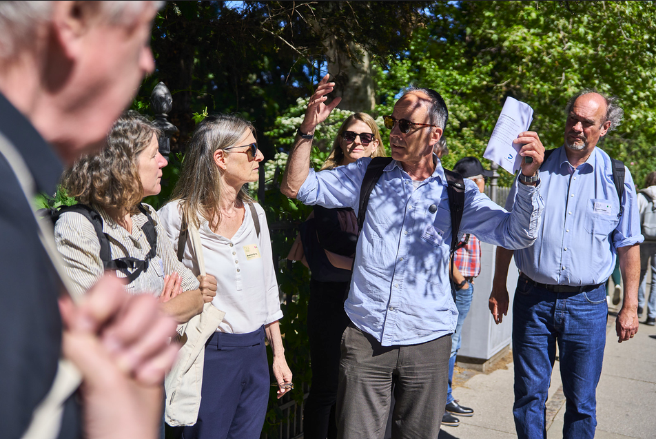
This ongoing project will plan practical field studies to different cities around the World, looking back at three different planning periods, studying and comparing vernacular city planning, 20th century urban planning and 21st century urban planning, respectively.
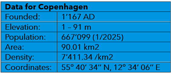
The aim of the study, is to come up with ideas on how to plan for daylight, by relating it to latitudinal differences in environmental temperature and thermal comfort in the cities of tomorrow. Cities, where more than half of the global population will be living in the future. This study is the result of different workshops arranged at the Daylight Academy – an international membership organization bringing together scientists from different backgrounds, architects, engineers and other professionals involved in daylight research. In this blog, results described are based on urban planning in Copenhagen at latitude 55.4 N.
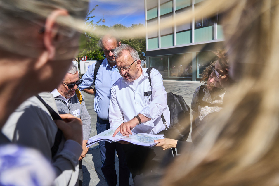
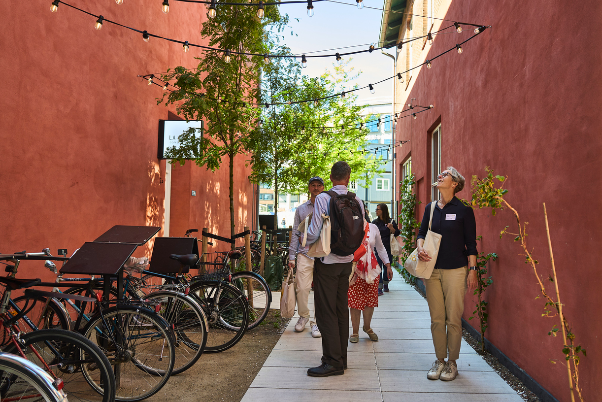
Copenhagen 55th N measurements
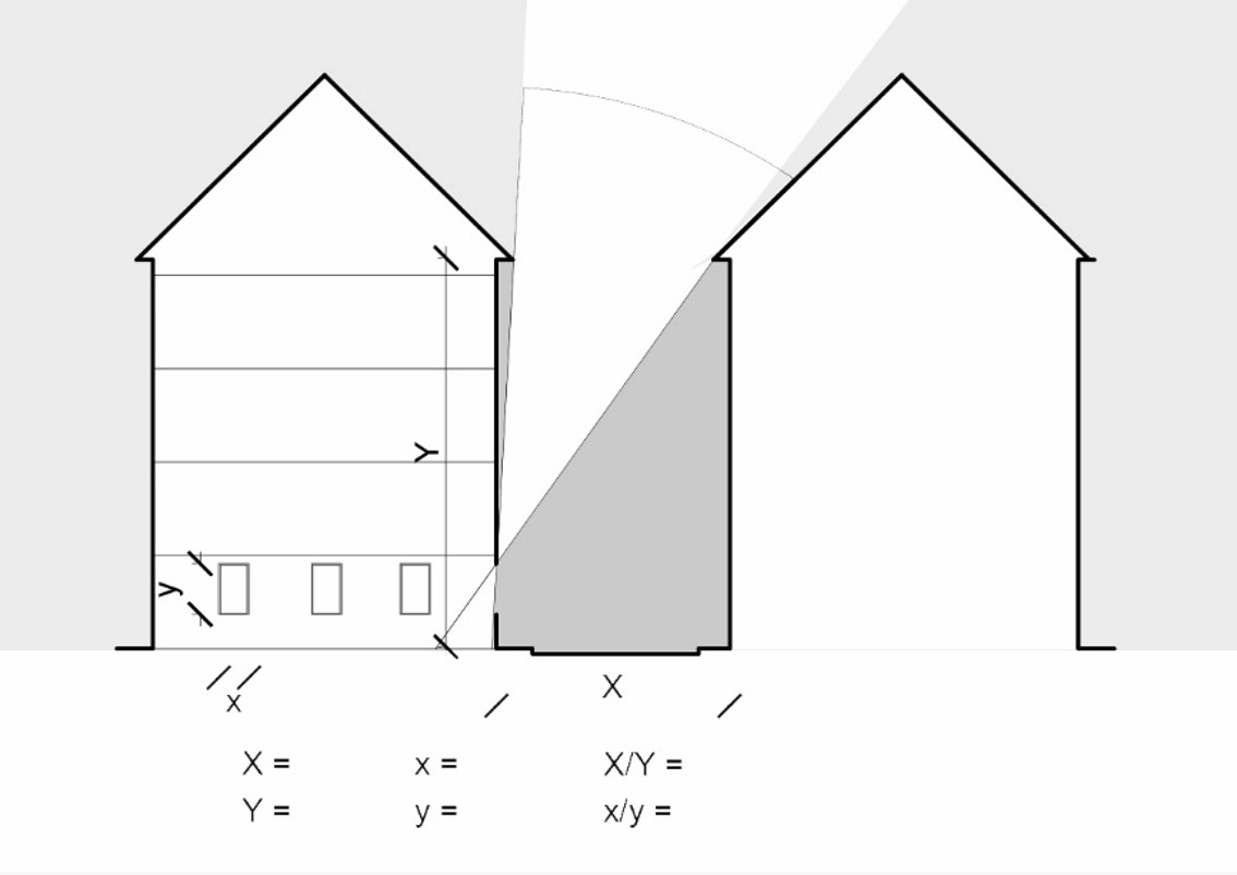
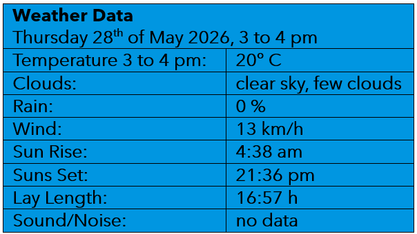
In the project, we planned three different routes of approximately 3.2 km through three areas of different centuries of urban planning in Copenhagen. The study was designed as a field study involving a total of 25 participants for a one hour walk through different centuries. Participants were assigned randomly to the three different routes/centuries. All three routes were walked during exactly the same time, at May 28th 2026 15:45 – 16:45 AM. During the walk, participants did measurements using a laser-meter of “typical streets” and “typical windows”, as well as ratios between these widths and heights. See Figure 1. Interrelated ratios between streets and windows were subsequently analysed, based on the measurements for each route:
Figure 1. Scheme of a cross section of a typical street, showing the sky component (SC) through windows at street level. The study interrelates data at street level on widths (x, X) and heights (y, Y) of streets/façades and windows in order to determine the access to daylight. X = Street width, Y Façade height, x = Window width, y = Window height.
Copenhagen 55th N semantic questionnaires
In the study, all participants answered a 11-item questionnaire based on a Likert Scale 0 – 10. The questionnaire was based on three categories; the built environment, the physical environment and the mental environment, see appendix 1. Results will be analyzed in the coming project, comparing the built, environment, the physical environment and the mental environment, supplemented with data on daylight availability (using trackable devices measuring m-EDI) for the different daylight city walks and different periods in urban planning. In order to hopefully, share new knowledge on past, present and future urban planning of daylight.
Comments